The Project
i-GeoVET is an innovative monitoring system designed for epizootic disease management.
It combines geospatial data with veterinary practices to allow a rapid response to health crises.
Download the presentationPhase A (2024 to 2025)
Sheep Pox Epizootic
Focuses on comprehensive management, recording, and response to the sheep pox epizootic.
Phase B (Current)
Foot and Mouth Disease in Lesvos
Applies the system to monitor, contain, and control foot and mouth disease on the island of Lesvos.
Geospatial Analysis
Health Crisis
Digital Tools
Interconnection
Key Goals
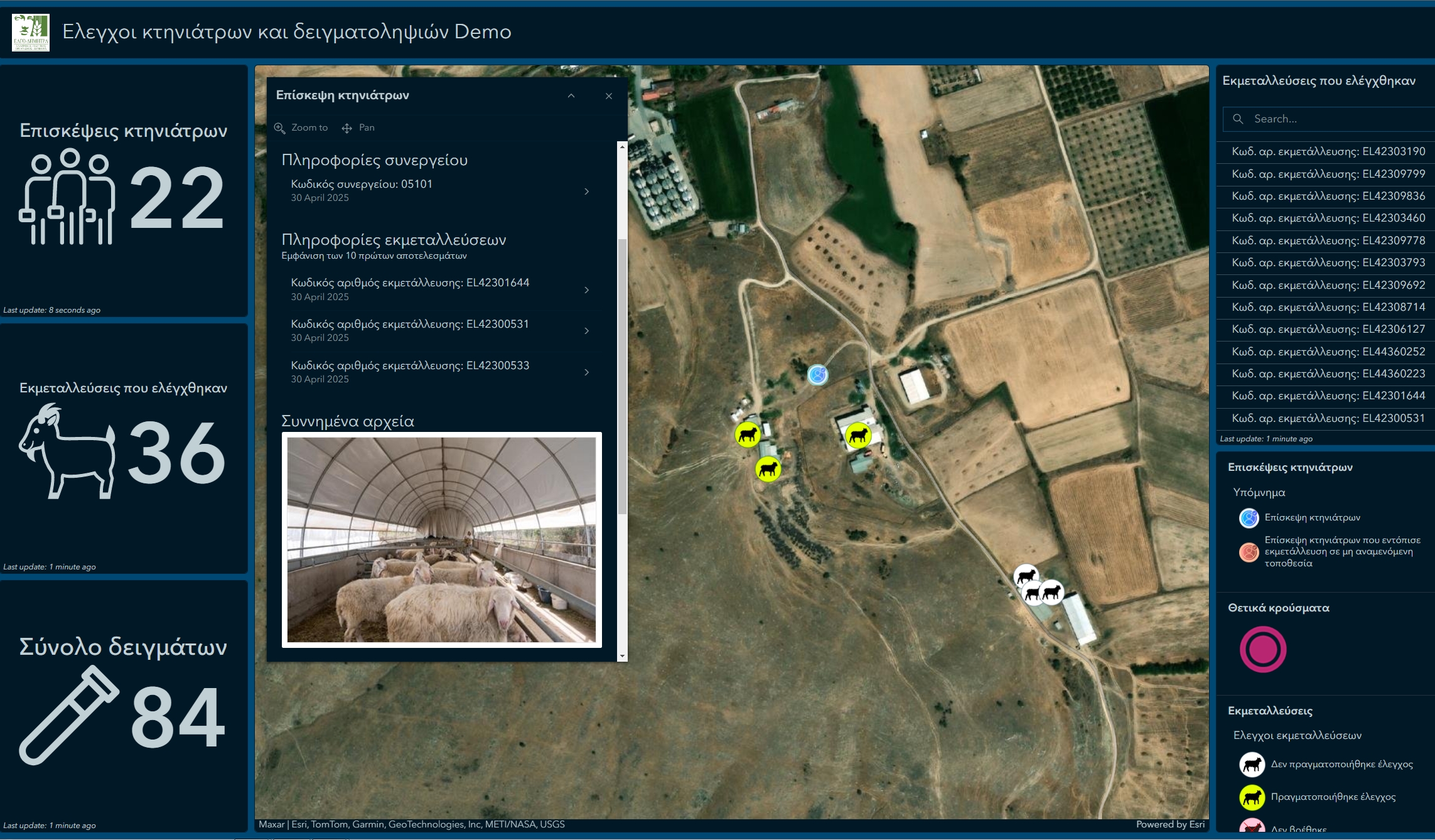
Data Organization
Systematic recording and organization of livestock farm data at a national level.
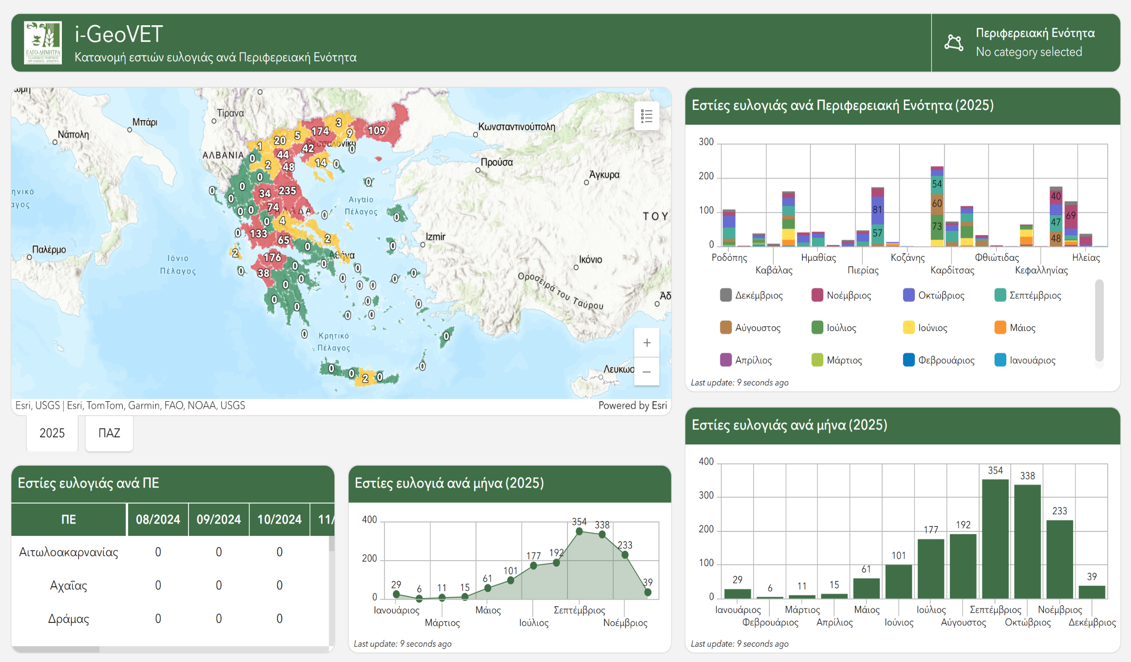
Crisis Management
Immediate response to epizootic diseases and operational support for veterinary services.
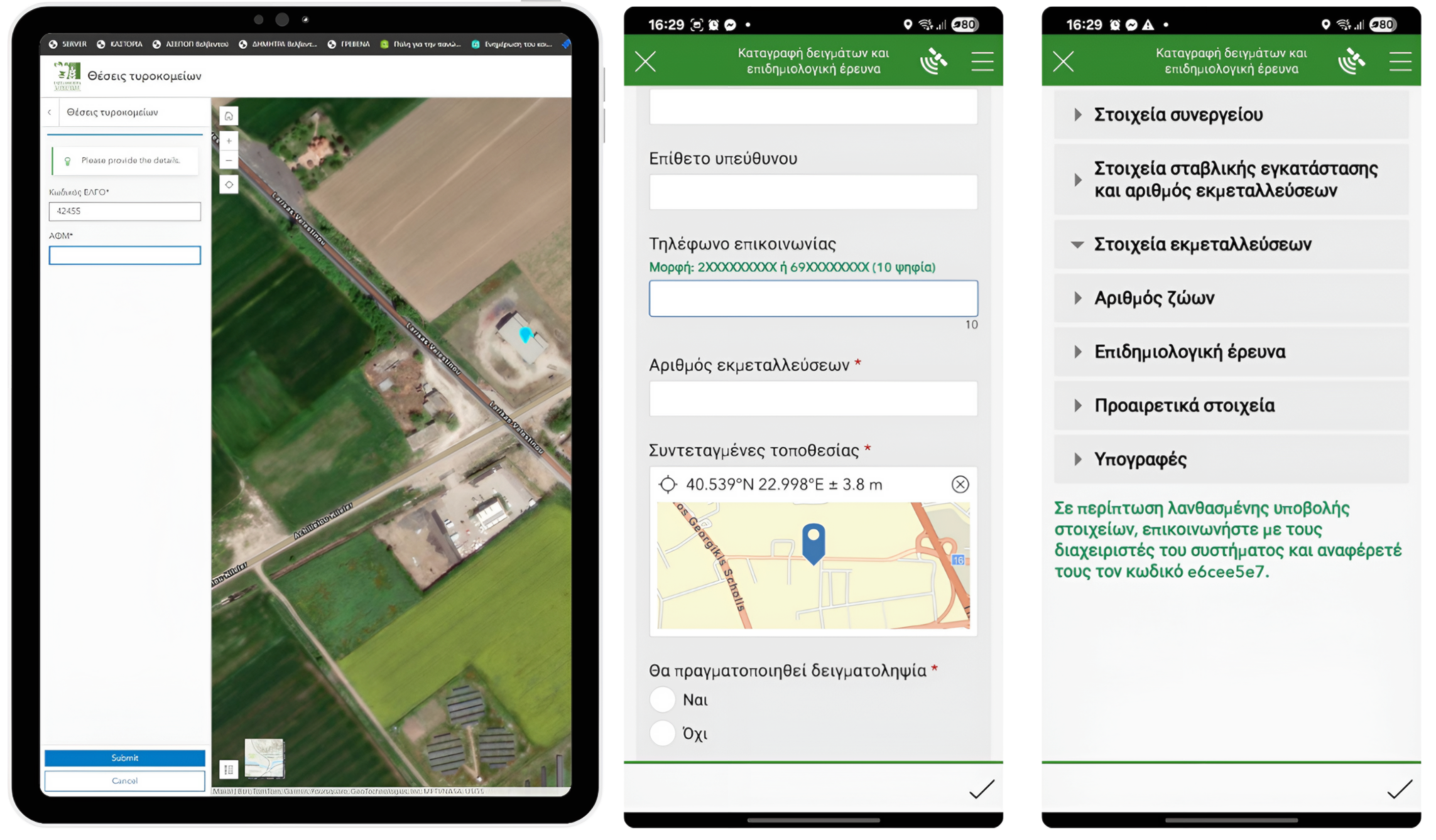
Field Tools
Use of mobile devices for on site sampling and recording.
News & Announcements
Stay informed about the latest developments, ELGO DIMITRA actions, and the use of the i-GeoVET platform.
i-GeoVET Presentation from the 2026 ArcGIS User Conference Now Available
View the presentation of the geospatial platform and its application to foot-and-mouth disease on Lesvos.
i-GeoVET Presentation at 2026 ArcGIS User Conference Greece & Cyprus
Presentation of i-GeoVET geospatial epizootic management tool on October 21–22 at Crowne Plaza Athens (October 21, 14:30, Hall 1 E).
i-GeoVET: The Evolution of Foot and Mouth Disease in Lesvos
Monitor the course of the disease through the new digital tool of the i-GeoVET platform. Data covers the period from March 15. (WAHIS data source).
Who We Are
The project is implemented by ELGO DIMITRA through its specialized institutes.
Results and Analysis (2024 to 2025)
Explore the full project presentation for sheep pox, maps, and conclusions in our detailed report. In Greek.
View the Detailed Report (Gr)